European motorcycle tour Germany – 20 Countries in 20 Days (Day 1)

Route planning - European motorcycle tour Germany
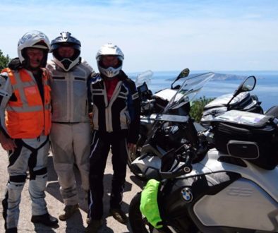
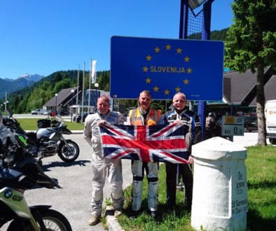
On this European motorcycle tour Germany, the route took us down through England, into France, Belgium and Holland before arriving at our friends house in Emsdetten Germany.
Going touring means you’re going to have to learn how to navigate, get to your destination and make your way home again. If you have never learned how to map read before, now is a good time to start to develop that all important skill of knowing where you are, where you are going and how you are going to get there.
First of all you have to decide on what kind of trip you are going to do. Is it a sightseeing trip? Do you want to have days off? Is it going to be big mileage each day? How many miles are you used to riding? Will you be using small side roads or main arterial routes? All these questions need to be answered at the planning stage before embarking on the journey.
Then you’ll need to decide on a realistic destination, one that you can easily achieve and work out how many days you need to complete the trip. It is usual to encounter issues along the way, so always factor in some problems and delays. Don’t set unachievable targets for yourself or others.
There is no point trying to do 6-700 miles a day if you have never done this type of riding before. If you work on an assumption that you will only be covering around 50 miles in the hour for your days riding then you won’t be far wrong. A full days riding around 7 hours will realistically achieve 350 miles on good roads.
Sat Nav
Too many people rely solely on one mode of navigation. Don’t just simply follow the directions of a sat nav, learn how to use it, read the instructions and do some study or homework on what it can do. Practice using it, look at the menus and navigation conditions you can programme in. When you are on the move, you may need to change settings, it’s a good idea to know what settings to use and how to change them quickly if you need to.
Most modern vehicles have built-in satellite navigation systems, they are widely used as a daily commodity even on short journeys, even though the driver knows the route. The use of them has become a way of life and ‘by and large’ are used as a comfort blanket, the only problem is, they are also heavily relied upon.
Does the sat nav know if it’s been raining or there is a flood where normally a shallow ford is? Trucks and buses have been known to get stuck down narrow country lanes because the ignorant driver has gone where they are told to go and not used their brain.
Using a Garmin, TomTom or an alternative means of navigation on the bike is completely different. You are detached from the sat nav and don’t necessarily have the voice to aid your navigation, unless it is Bluetooth and has been paired before departure.
Google Maps
Google Maps is a great way of planning and plotting routes, you can take your time and be in the comfort of your own home on the laptop or pc. Don’t rush the planning stage, think about where you want to go and do some research to see if there is anything you should try to see in certain countries. Like a mountain pass that we were advised to do in Bulgaria on our return leg from Asia, by a young lady we met in Greece. Her named is Elena Graikou and she kindly gave her permission for me to use her picture on the rear cover of this book.
Because of the ‘street view’ it allows you to get right down to road level, look at critical points enroute and get a feel and mental image of certain places and junctions. It’s a great heads up when you are looking for certain areas as you have a visual idea prior to arriving, it’s almost as if you’ve been there before.
Maps
Old fashioned paper maps still have a major role to play when navigating new routes. They allow you to see the bigger picture, have detail on them without zooming in and at the planning stage you get a good overall visual feel of an intended area. Map reading can be a headache as not everyone is comfortable using a map, every rider should try to learn how to use one before going on their trip.
Route plans
Route plans are a good way of highlighting key towns to aim for, direction of travel and road names or numbers to look out for enroute. In conjunction with a map this can give you directions at a quick glance, you can also put a rough distance to each turn, so that you know it is getting closer and you can look out for the new road. You can come up with your own system or copy an existing method of route guidance.
On the train - Eurotunnel

The journey begins - England to Germany 5 Countries
[table id=2 /]
Countries travelled & Currency
[table id=1 /]
The Days Events - European motorcycle tour Germany
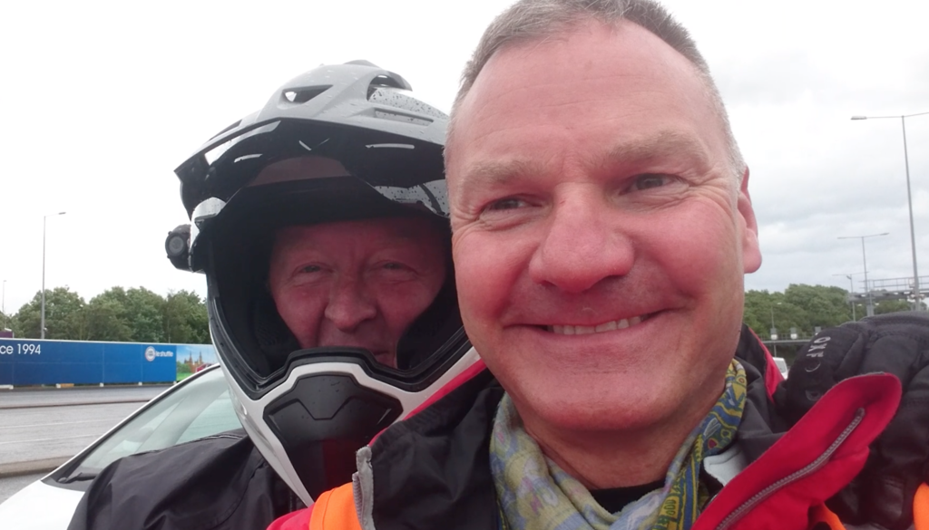
Today’s the day! I’d set the alarm clock for 05:30 am but there really was no need. I was awake on and off all night with anticipation and excitement. I was up at 05:15 am, well before the alarm had time to go off. The first thing I did was look out of the window to see a wet and windy start to the day and the rain was still falling pretty hard. I thought to myself, it’s going to be waterproofs for the ride down to the Eurotunnel at least, but secretly I was hoping it would be brighter when we arrived in Europe.
After a shower I got ready and dug out the waterproof socks that I’d prepared the night before, just in case. I needed to wear waterproof socks because the boots I’d bought were perforated desert boots that were for the hot climates of arid Greece and beyond and not for the wetness of England. I suppose England is very green for a reason and that does not entail lots of hot sunshine and drought filled summers!
After a bite to eat I was ready, the bike just needed to be pushed out of the garage into the rain, a final check of passport, wallet, credit card and docs and I was ready to go. The passport was to make sure I could go abroad, the wallet because cash comes in handy, the credit card to purchase anything I’d forgotten to take and the documents so that I could pass through borders on the bike.

Riding in England
I was waved off at the front door at about 06:40 am and not before too long was on the M42 heading towards the M40 and Warwick services, where I was meeting Mike at 07:00 am (ish). I thought this was a little bit too early to meet up but went along with it at the start of the tour, it wouldn’t have been good to miss the first transport (train) that we’d booked
The EuroTunnel
This was the first big mistake. We were both wet but Mike wasn’t used to this type of riding. In fact he wasn’t used to riding at all. It was a slow start in the rain and time seemed to be dragging on and on at 50-60 mph on the motorway. Granted it was raining pretty heavily but the speed was pitifully slow and we had been in the spray of the trucks for quite some

We were guided towards the platform and shown the way onto the train from a side entrance. Once through the side door we rode up the train following the vehicles in front until they stopped. We parked our bikes at an angle and switched off, and that was us for the duration of the train journey. Almost as soon as we were on, we got our wet gear off and in no time at all the train pulled away from the platform and we were on our way for the 30-35 minute ride. (read more…)
European motorcycle tour Germany - More Information
If you are interested in reading the rest of the book ’20 Countries in 20 Days’, please go to the SHOP for a signed copy.
If you are outside of the UK, purchase ’20 Countries in 20 Days’ as a:


